|
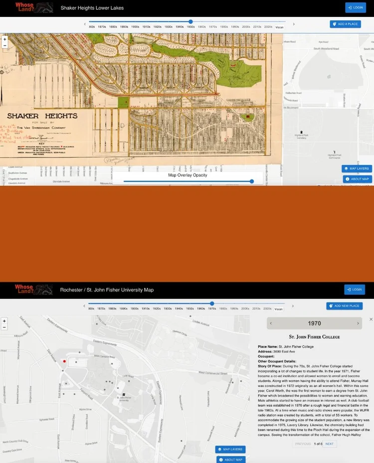
Additional partners working with the mapping prototype include Milwaukee School of Engineering (MSOE) historian Michael Carrier’s community-based learning class and UW-Milwaukee historian Joseph Walzer’s Ethnic Studies class. The mapping project is only a tool. Our most important work is done in person and in community. But this platform has the potential to help our partners sustain their local history work and to connect and share resources with other organizations. If you are interested in helping us develop the platform or our other related programs, we are still looking for additional individuals and organizations to participate in the testing process. If there is a community and/or location that you are interested in learning about and documenting—maybe your elementary school grounds, maybe the town you live in, maybe even your own home—email us at info@whoseland.org to learn more and get involved! To read more about the project, make sure you are following Whose Land? on all platforms and are subscribed to our newsletter. You can also learn more about the mapping platform by keeping up with our 250th project.
|